top of page

MLRC
MARITIME LIBRARY & RESOURCE CENTRE
(Malaysian Maritime Academy Sdn. Bhd.)

In pursuit of knowledge…
The Maritime Library and Resource Centre (MLRC)
supports the Academy's mission to facilitate
value added learning via conducive environment and
providing competent personnel in the maritime industry.

Scan QR code to download our app.

Search Pulse
and find books in our online catalogue
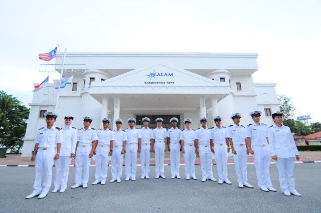
MLRC Building
Click to search our catalogue & online databases

Search PULSE
and find books in our online catalogue
Search Pulse
and find books in our online catalogue
1/6
If you have problems to access PULSE or your library account, please Contact Us
Calendar
Location map – exit at Pedas Linggi
Location map – exit at Ayer Keroh
GPS Coordinates:
2°22.088′ N, 101°59.727′ E
Our Maps
Maritime updates
What's new !


Looking for a new book in our collection?
Just click the book above.
bottom of page